UN
54a Fore Street
£ 190,000
Description
We don't have a Description for this property.
- Bedrooms
- 2
- Bathrooms
- 0

Leaflet © OpenStreetMap contributors
The heatmap indicates the level of crime in the area. The color of the heatmap indicates the crime severity and recency.
Metrics Year-on-Year
- Average area value
- 275,043.00 £Decreased by 5.93 %
- Average area rental value
- 1,007.00 £/moIncreased by 20.31 %
- Est rental Yield
- 4.39 %Increased by 27.62 %
- Crime Rate
- 59.00 %Unchanged by 0.00 %
from 292,391.00 £
from 837.00 £/mo
from 3.44 %
from 59.00 %
Nearby Schools
| Name | Type | Ofsted | Distance |
|---|---|---|---|
| The Grove School | Community School | Outstanding | 0.29 KM |
| On Track Education - Totnes | Other Independent Special School | Good | 0.59 KM |
| Roc College (Part Of United Response) | Special Post 16 Institution | Good | 0.86 KM |
| Daisy Play Centre Totnes And District Children'S Centre | Children's Centre | 0.89 KM | |
| Totnes Progressive School | Other Independent School | 0.96 KM |
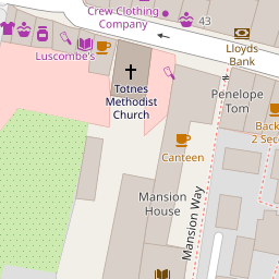
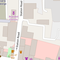
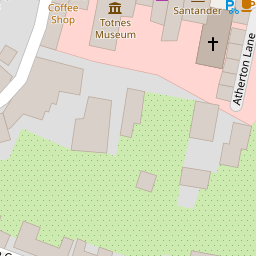
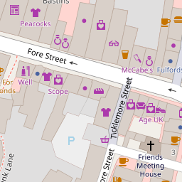
Images
Nearby Streets
| Name | Average Price | Average Sqft | Distance |
|---|---|---|---|
| North Street Mews | £ 325,000 | 0 | 0.00 KM |
| Priory Gardens | £ 0 | 0 | 0.00 KM |
| Heath Court | £ 0 | 0 | 0.00 KM |
| Pomeroy Villas (private) | £ 0 | 0 | 0.00 KM |
| Brooklands | £ 460,000 | 0 | 0.00 KM |
Nearby Transport
| Name | NLC | TLC | Distance |
|---|---|---|---|
| Totnes | 3558 | TOT | 0.65 KM |
Nearby Listings
| Address | Price | Type | Score | Distance |
|---|---|---|---|---|
| Fore Street, Totnes | £ 275,000 | BUY | 7 / 10 | 0.00 KM |
| East Moore Green, Near Totnes | £ 725,000 | BUY | 8 / 10 | 0.04 KM |
| East Moore Green, Near Totnes | £ 750,000 | BUY | 7 / 10 | 0.04 KM |
| Near Diptford, Totnes | £ 1,100,000 | BUY | 7 / 10 | 0.04 KM |
| East Moore Green, Near Totnes | £ 735,000 | BUY | 7 / 10 | 0.04 KM |
Nearby Properties
| Address | Price | Distance |
|---|---|---|
| 54a Fore Street | £ 190,000 | 0.00 KM |
| 2 Atherton Lane | £ 230,000 | 0.08 KM |
| 1 Atherton Lane | £ 45,000 | 0.08 KM |
| 8 Times Mews | £ 190,000 | 0.08 KM |
| 6 Times Mews | £ 244,000 | 0.08 KM |